Set the transport mode you will really use

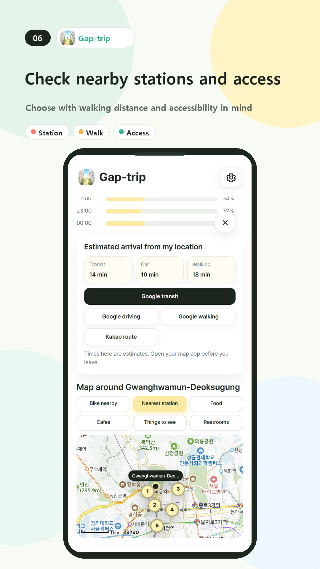
Choose transit, driving, or walking before comparing places. The estimate changes with the selected mode and helps remove attractions that do not fit the time you have.

Check the nearest station and the final walk

The detail screen lists a nearby station and shows surrounding transit points on the map. Once you choose a place, open KakaoMap or Google Maps for the current route.

  • Transit, driving, and walking estimates
  • Nearest station
  • Surrounding map
  • KakaoMap and Google Maps handoff

Treat travel times as estimates

  1. Select your starting area and transport mode.
  2. Compare the estimated times on the place cards.
  3. Open the place detail and check the nearest station.
  4. Use a map app for the live route before departure.
Traffic, service changes, and your exact starting point can change the journey. Use the connected map service for the final route.